Forest disturbance monitoring tool (ForWarn)
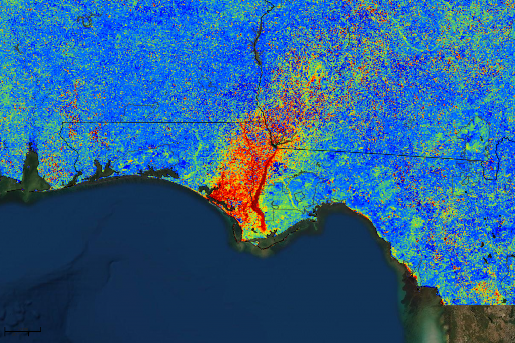
NEMAC supports the U.S. Forest Service’s Eastern Forest Environmental Threat Assessment Center in developing ForWarn, a cutting-edge forest disturbance monitoring system using satellite imagery to track vegetation change across the country and produce maps updated every eight days. Other partners include the National Aeronautics and Space Administration, the U.S. Geological Survey, and Oak Ridge National Laboratory, among others.
Landscape Dynamics Assessment Tool (LanDAT)
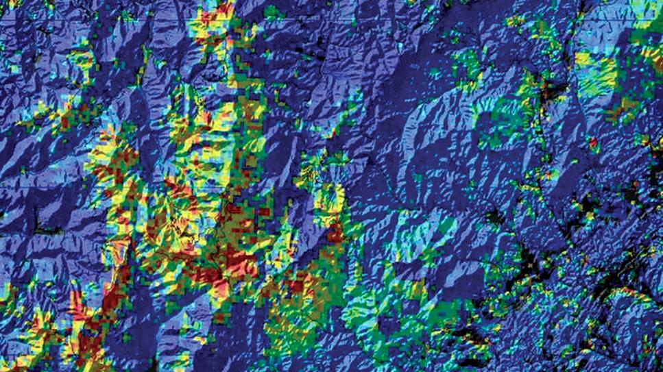
The Landscape Dynamics Assessment Tool (LanDAT) is used to assess landscape dynamics based on satellite-observed vegetation change. NEMAC, together with the U.S. Forest Service’s Eastern Forest Environmental Threat Assessment Center, developed LanDAT to assist planners and resource managers in understanding and incorporating landscape resilience and vulnerability into project planning.
Southern Forest Area Change Tools (SouthFACT)
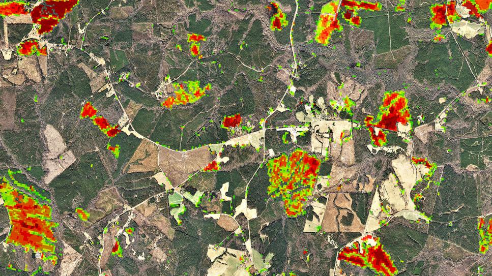
The Southern Forest Area Change Tools (SouthFACT) is a web-based application for forest change detection utilizing satellite imagery and additional GIS data to identify and quantify changes in forest cover from Virginia to Florida to Oklahoma. NEMAC partnered with the North Carolina Forest Service to develop SouthFACT.


