Landslide Hazard Tools
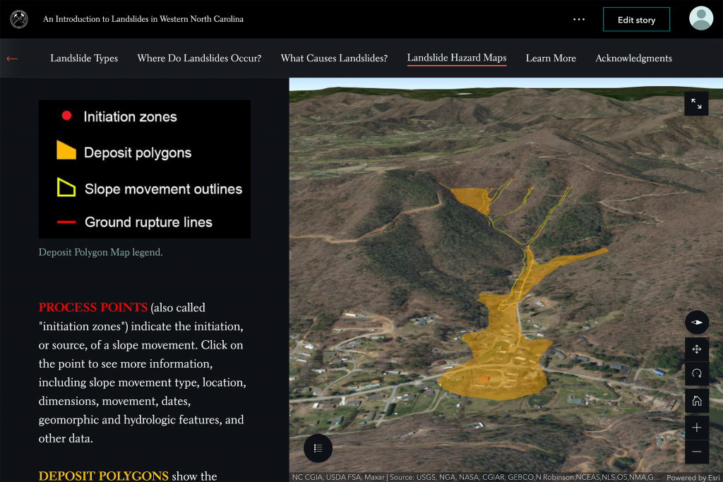
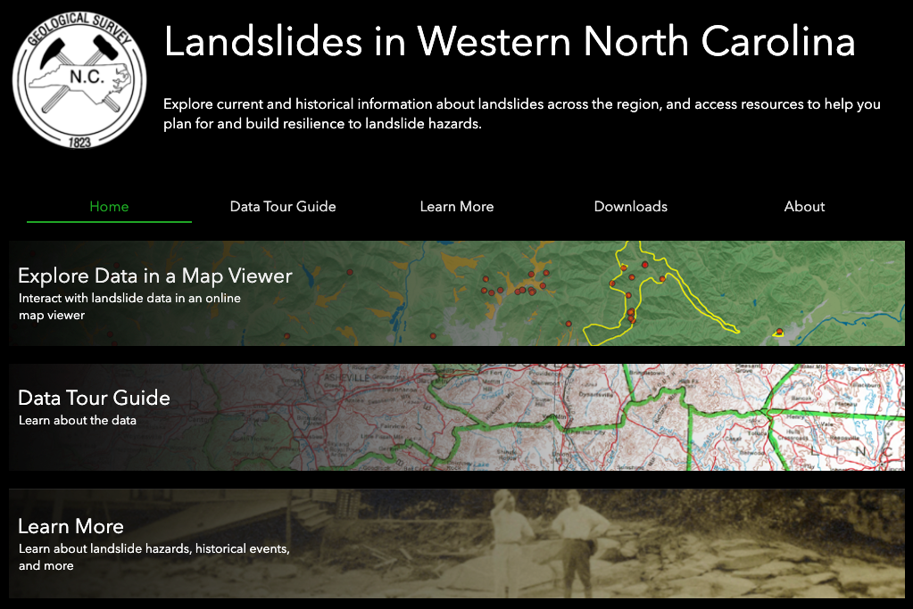
NEMAC collaborates with the North Carolina Geologic Survey (NCGS) to inform people about landslide hazards in western North Carolina through visualizations, an online map viewer, and guided online stories. Explore current and historical information about landslides across the region, and access resources to help you plan for and build resilience to landslide hazards.
Landslide Hazards in Western North Carolina Website
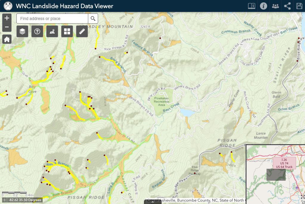
The WNC Landslide Hazard Data Viewer contains information on landslide events across North Carolina that have been mapped by the NCGS. This interactive site provides data on historical earthquakes, and a slope stability index for several counties in the region.
Landslides in Western North Carolina Map Viewer
Use the Landslides in Western North Carolina to learn about earthquakes, their causes and types, as well as where they’ve occurred and the damage that they caused. Read stories about earthquakes and other geologic events and use the link to visit the Data Viewer and research earthquake activity across the region.

